IRELAND #2: ANTRIM, DERRY, & INISHOWEN PENINSULA
Following our visit to Belfast and Armagh, we drove north through Antrim County on our way to Derry, in Northern Ireland. While in Derry, we also spent a day driving north through the Inishowen Peninsula - which is actually in County Donegal in the Republic of Ireland yet geographically farther north than Northern Ireland. This post focuses on those three communities on the northern coast of the island of Ireland.
En route to the Giant's Causeway, we stopped at the Old Bushmills Distillery which claims to be the world's oldest distillery. Its charter dates from 1608, but it probably was in production 200 years earlier. The Gaelic word for "whiskey" means "water of life". We learned about the difference between Irish whiskey and Scotch whisky as we toured through the plant and saw the process from beginning to end. The free sample of whiskey was greatly appreciated!

On the way to lunch, our coach driver stopped near the unroofed ruins of Dunluce Castle. It was a 13th century fortress built by the MacDonnells, chiefs of Antrim. It is located on the cliff's edge and part of it has fallen into the sea. The view was magnificent. The castle apparently inspired C.S. Lewis for the Chronicles of Narnia, and also inspired Tolkien.

We lunched in the charming Bushmill's Inn where we felt immersed in a wealthy old Irish culture.

On that beautiful afternoon, we spent considerable time exploring The Giant's Causeway. It is a unique UNESCO World Heritage Site which is steeped in 61 million years of geology and in thousands of years of local legend. The causeway is made up of more than 40,000 interlocking basalt columns that extend from the shoreline northeastward into the sea toward Scotland. The geologists claim that it is a legacy to the cooling and shrinking of successive lava flows. However, the legends hold that the formidable giant warrior Finn MacCool constructed the causeway to provide a path across the sea to do battle with the rival Scottish giant Benandonner.
The first picture shows the shape of a camel in the rock on the shoreline.

This image show a few dozen of the 40,000 hexagonal columns extending out into the sea (where Finn MacCool placed them).


Scotland, home of Benandonner, is just beyond the island on the horizon!

The final image shows the boot that Finn MacCool is reputed to have worn. However, the geologists claim that it is just a rock that is shaped like a boot. (Which story is best: the geology or the legend?)

Derry, sometimes called Londonderry, has a history extending back to 546 A.D. when St. Columba founded a monastery here. It is a completely walled city with fortifications that are remarkably well preserved. We went on a guided walking tour of the walls and learned a great deal about the many conflicts that have taken place since earliest times and including particularly difficult times recently during "the Troubles". We also learned about life inside the walls and life outside of the walls.


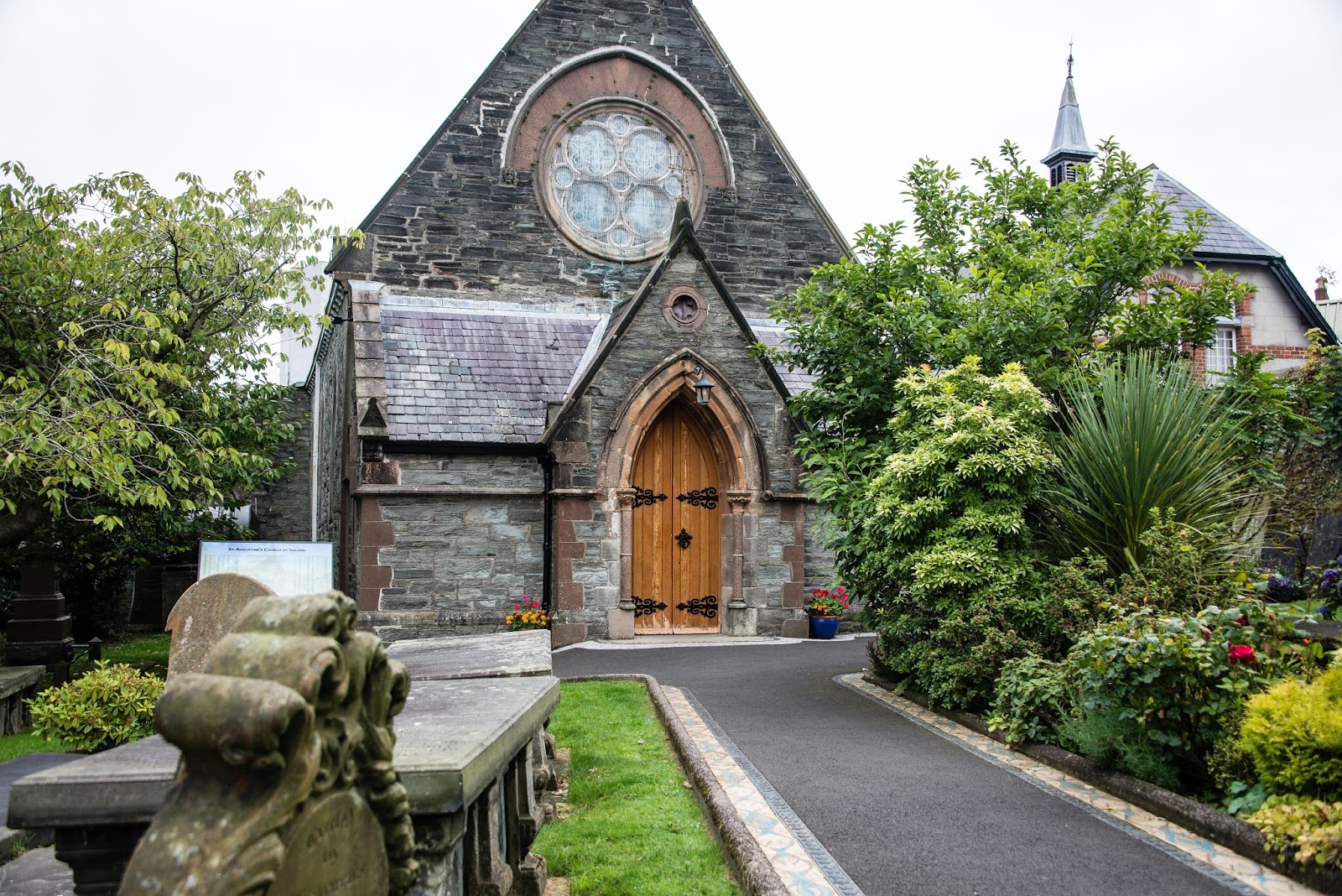
Photos inside the walls focus on several buildings including First Presbyterian Church and St. Columb's Cathedral.


From our hotel window we could see the Peace Bridge. Completed in 2011, it is a foot/bicycle bridge which connects two parts of the city across the river Foyle. Like the Thanksgiving Square sculpture in Belfast, it is dedicated to bringing the people of Ireland together.

Our day trip through the Inishowen Peninsula took us north west from Derry, into the Republic of Ireland where we were surprised there is no border crossing. At the entrance to the peninsula, we stopped at a stone structure called Grianán Ailigh. It was probably built 2,500 years ago (restored in the 19th century), although the site had been occupied even earlier. Eventually it became the royal residence of the O'Neills.


The views from Grian'an Ailigh were stunning.


Eventually we reached Malin Head, the northernmost point. Its highest point in called Banba's Crown, and it has been used for centuries to monitor shipping in the north Atlantic. It has a military observation tower built in Napoleonic times (1805).


posted by Paul @ 7:56 PM
0 Comments
![]()
![]()

0 Comments:
Post a Comment
Subscribe to Post Comments [Atom]
<< Home