In February 2013, we drove our rented car from Phoenix to Sedona where we began our second Road Scholar seminar in Arizona. The drive took us north from Phoenix and we climbed onto the plateau above the Sun Valley. On the way, we visited the remarkable experimental town called Arcosanti. Continuing north through part of the Prescott National Forest, we arrived in the beautiful resort town of Sedona where we stayed for a week.
The red rock terrain in Sedona is uniquely beautiful, as you will see below.
 |
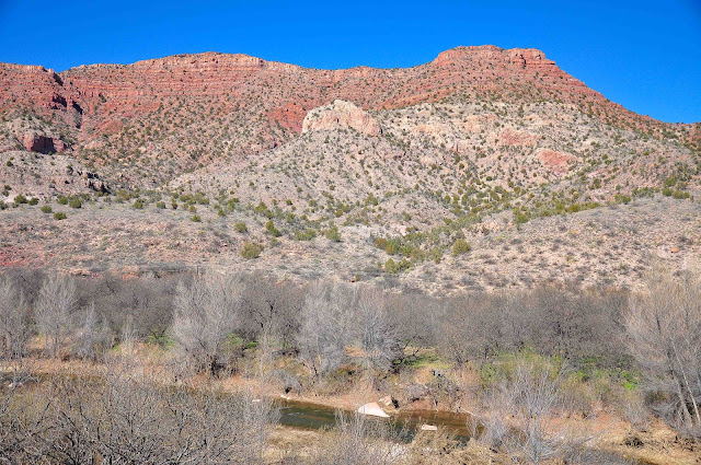
| The rest areas on highway 17 north of Phoenix gave us a beautiful view of the canyons and plateau. |
 |
| On our way north toward Camp Verde, we pulled into an experimental town called Arcosanti. Begun in 1970 by architect Paolo Soleri, it is intended to illustrate how an urban settlement could be improved while minimizing negative effects on the earth. |
 |
| The concept of "arcology" on which Arcosanti is based, combines an urban environment with minimal use of resources and access to the natural environment. Today it is primarily an education centre. |
 |
| Many design features at Arcosanti are very engaging. The natural environment touches the buildings at every moment. |
 |
| Metal and ceramic bells are made and cast from bronze on site. They are sold to support Arcosanti financially. |
 |
| By 2012, over 7,000 people had participated in one of the five-week workshops. |
 |
Eventually we arrived in Sedona, only to find that it was snowing.
|
 |
| Local people in Sedona told us we were lucky. We would be able to capture unique photographs of the snow lying in the layers of the red rock mountains. |
 |
| We were immediately drawn to Oak Creek Canyon, just north-east of Sedona. Note the scale of the view by looking at the highway bridge near the middle of the photograph. |
 |
| Even though was had gone to Arizona to get away from the snow at home, we did have to admit there was something enchanting about it here. |
 |
| The red sandstone rock layers were laid down under sea over hundreds of millions of years. Eventually some sediment hardened into gray layers of limestone on top of the red sandstone. Then it was all lifted upward by the collision of tectonic plates. |
 |
| This view of Thunder Mountain and the town of Sedona from Airport Road was photographed after most of the snow had melted away. |
 |
| It was neat to see the cloud come rolling up the valley. |
 |
| The Chapel of the Holy Cross was built in 1956 by Marguerite Brunwige Staude, a student of Frank Lloyd Wright. It was built on a pinacled spur about 250 feet high, jutting out of a thousand foot red rock wall. |
 |
| Inspirational! |
 |
| The red rock wall behind the chapel was stunning! |
 |
| A Western Bluebird joined us, just as I switched to my telephoto lens! |
 |
| Many people thought they could see various human and animal figures carved naturally from the surrounding buttes! I spied the ancient Egyptian figure of Horus the falcon god here. But I was told this was not likely accurate! |
 |
| This view, at Red Rock Crossing, reveals Cathedral Rock on the horizon. It was made famous in countless cowboy movies. |
 |
| At this pathway below Cathedral Rock, visitors have celebrated the power of a vortex by piling stones and rocks into little statues. This vortex, or energy centre, is said to strengthen the feminine side. |
 |
| Sandi built a small statue to celebrate our recently departed friend Anne. It contains eight stones, each one representing a member of our two families who enjoyed so many good times together from 1962 to the present. |
 |
| Another view of Cathedral Rock. |
 |
| The setting sun on Courthouse Butte caused the rock colours to intensify. |
 |
| This is the hill I climbed to get the sunset photos. |
 |
The butte on the right is called Coffee Pot Rock. It was just outside our hotel.
|


